 Catàleg local de Mallorca
Species distribution
Type of resources
Available actions
Municipios
INSPIRE themes
Keywords
Contact for the resource
Provided by
Formats
Representation types
Service types
Scale
-
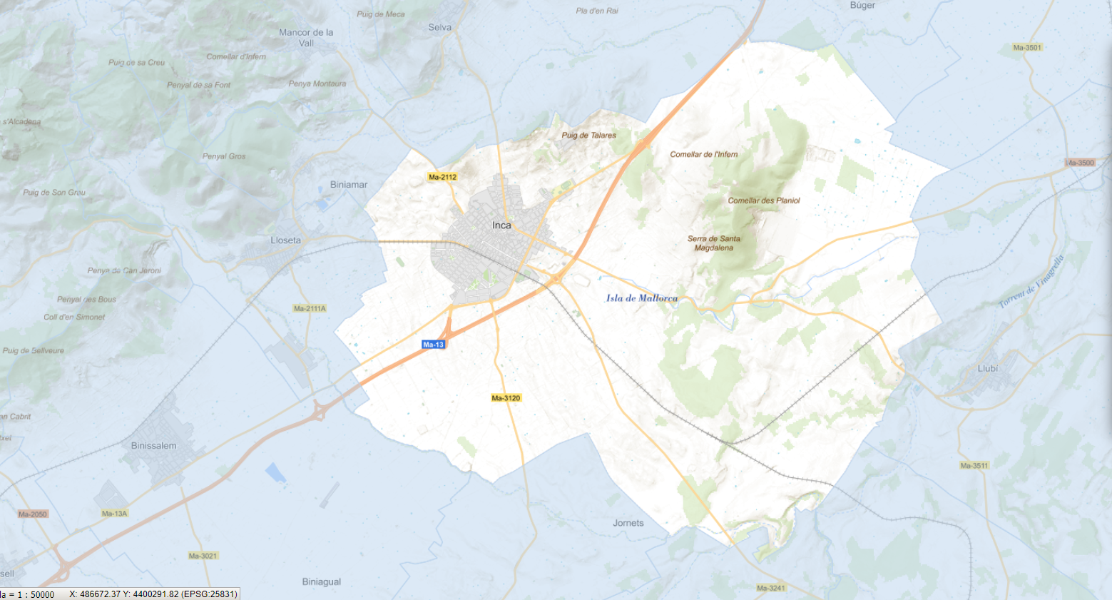
Data set that contains the trees of the urban center of the municipality of Inca, the result of the Urban Tree Management Plan of the municipality approved and published on 2023/10/14. Scale 1:1,000. The reference system: ETRS89. Projection system: UTM zone 31. Storage format: SHP and Geopackage
-
Web Map Service that allows access to the cartography of the Urban Tree Management Plan of the municipality of Inca, definitively approved on October 14, 2023. The service contains the layer in point format of all the trees in the urban center of Inca and whose attributes refer, among others, to the gender, height and width, state and action to be carried out. The associated symbology of the capes is defined by the Inca City Council. Access to this service is free as long as the Inca City Council appears as the owner of the data and the Consell de Mallorca as the owner of the service.